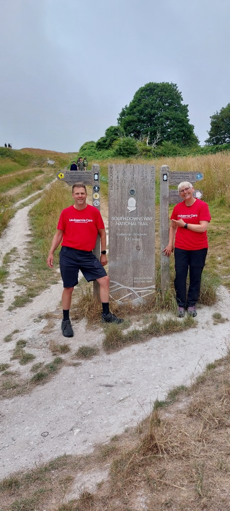
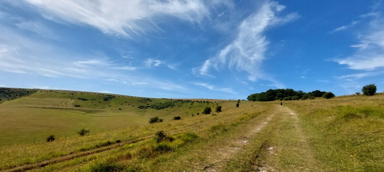
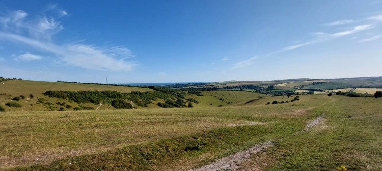
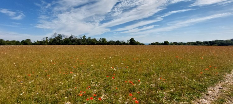
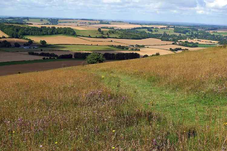
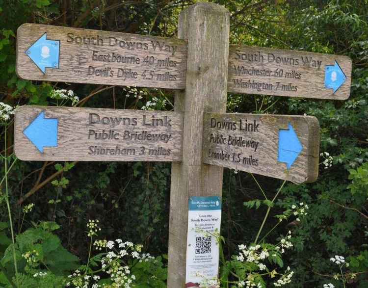
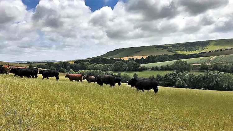
The South Downs Way is a 100-mile (160 km) long-distance National Trail that runs from Winchester in Hampshire, to Eastbourne in Sussex, traversing the rolling chalk hills of the South Downs National Park. It is an unforgettable journey through some of England’s most beautiful countryside, and is one of the most popular National Trails in England, offering breath-taking views, historical landmarks, and diverse wildlife. Our plan is to hike the route over 8 days, going from West to East; starting in Winchester and finishing in Eastbourne. We have planned our accommodation to stay in Bed & Breakfast for 4 nights and camping for the other 3 nights. We are doing this self-supported so we will be carrying our camping equipment with us, plus food for the days we are camping so we will be carrying around 10kgs. On average its about 12.7 miles hiking per day, route and details for each of the days are detailed below.
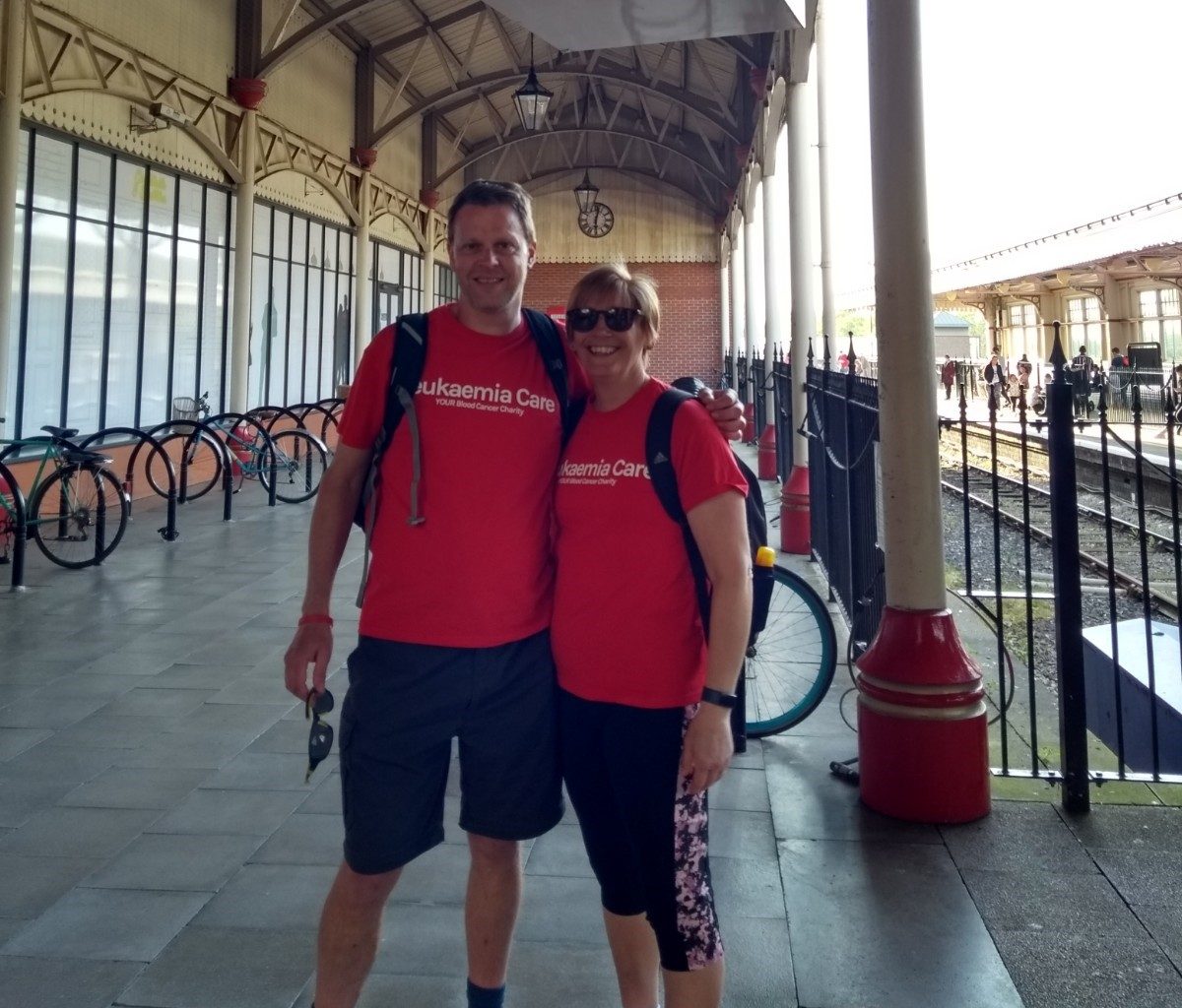
‘Team Bristow’ comprises Chris Bristow and Kim Bristow, and we will be raising money for Leukaemia Care charity for taking on our hiking challenge; clicking on the image below will take you to our Just Giving sponsorship page. Thank you in advance for your support!


days
hours minutes seconds
until
South Downs Way Charity Hike gets underway!
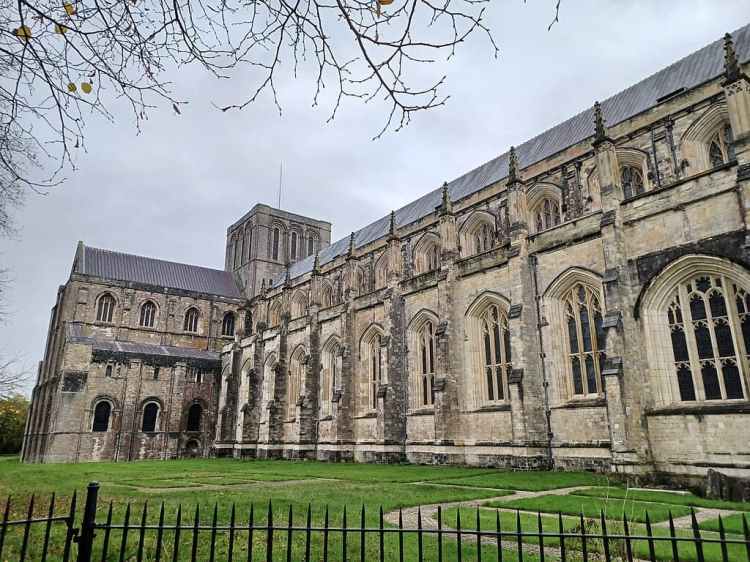
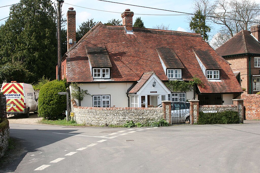
Day 1 – Winchester to Exton
From Winchester, the South Downs Way leads past Cheesefoot Head and Beacon Hill, offering scenic views before descending into Exton’s Meon Valley
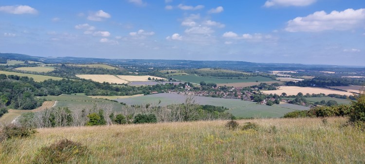
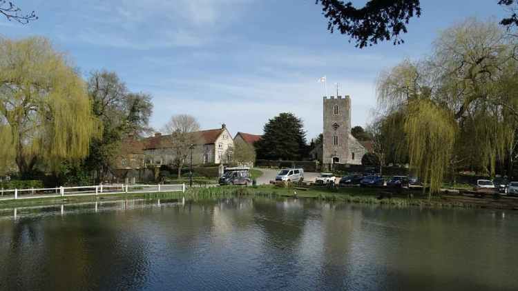
Day 2 – Exton to Buriton
From Exton, the South Downs Way climbs Old Winchester Hill, passes through quiet woodland, crosses Queen Elizabeth Country Park, and descends into Buriton village.
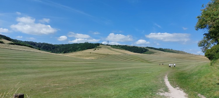
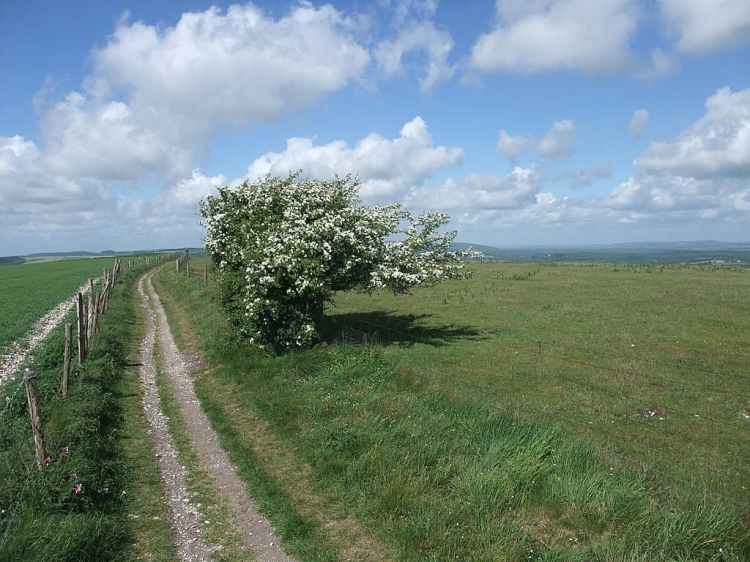
Day 3 – Buriton to Cocking
A scenic 14 mile route featuring Butser Hill, Queen Elizabeth Country Park, woodland trails, rolling downs, and stunning views near Cocking.
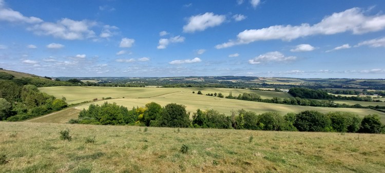
Day 4 – Cocking to Amberley
Day 4 is an 11.5 mile route through Heyshott Down, Graffham Down, Bignor Hill, with panoramic views, leading to Houghton Bridge and onto Amberley.
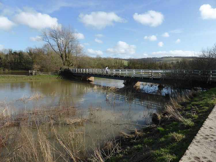
Day 5 – Amberley to Truleigh Hill
The longest section is Day 5; 15 miles starting from Amberley, climbing to the South Downs, and reaching Truleigh Hill with panoramic views across the landscape.
Day 6 – Truleigh Hill to Housedean Farm
Starting with with panoramic views from Truleigh Hill, passing Devil’s Dyke, Pyecombe village, Ditchling Beacon, and descending to Housedean Farm through rolling chalk downs.
Day 7 – Housedean Farm to Alfriston
The penultimate Day covers 14 miles, passing through Kingston Ridge, Firle Beacon, and then descending through Jevington village before reaching Alfriston’s historic town center.
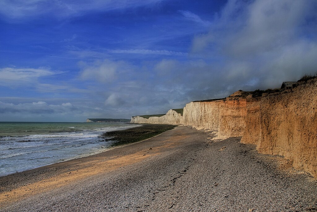
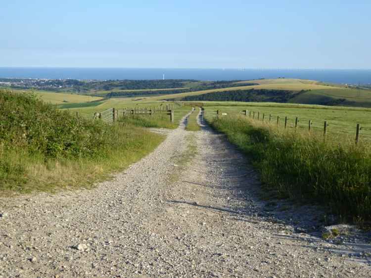
Day 8 – Alfriston to Meads
The last day is 11 miles but features some famous landmarks – the Seven Sisters cliffs, Birling Gap and Beachy Head. Stunning coastal views, ending the trail in Meads, Eastbourne.